
Hurricane Polo Flooding: Arizona & New Mexico Updates
Updated: September 30, 2026
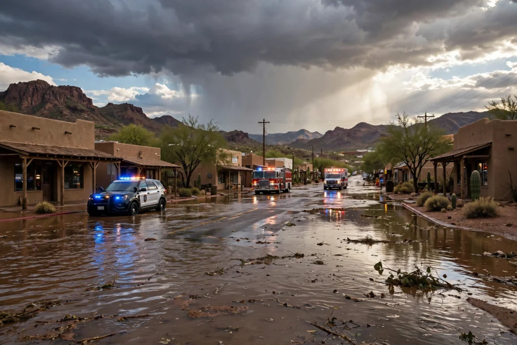
Former Hurricane Polo is hammering the U.S. Southwest, as the storm’s remnants sweep across Arizona and New Mexico with flooding rains. Arizona emergency crews have carried out water rescues, while several small New Mexico communities were ordered to evacuate over fears a dam could fail.
The National Weather Service warns the flood risk will shift into Texas and Oklahoma later this week.
What Happened: From Hurricane to Tropical Remnants
Hurricane Polo made landfall early Tuesday, September 29, 2026, striking Mexico’s Baja California Sur just south of Las Barrancas with 110 mph (175 kph) winds — a Category 2 hurricane, per the U.S. National Hurricane Center. The storm brought destructive winds, a storm surge with waves up to 9 meters high, and 6 to 12 inches of rain.
In Puerto San Carlos, seawater breached sand barriers and flooded streets, power was cut, and trees were toppled — but Mexican authorities reported no loss of life. About 700 people took shelter and were expected to return home Tuesday.
Polo then crossed the Gulf of California and weakened to a tropical storm. But its vast plume of tropical moisture kept streaming northeast into the U.S. Southwest, where ground already saturated by Monday night’s storms set the stage for dangerous flash flooding.
Arizona: Flooded Roads and Water Rescues
By Tuesday evening, parts of Arizona were especially drenched, with several water rescues reported, according to the Associated Press. Desert rivers surged and usually dry arroyos raged as bands of rain swept the state — made worse because overnight Monday storms had already saturated the soil. Wide swaths of Arizona were under flood watches as the tropical system spread northeast from Mexico.
New Mexico: Dam Concerns Force Evacuations
In New Mexico, the potential failure of a dam in the south central part of the state prompted evacuations in three small Rio Grande communities — Rincon, Salem, and Garfield — where hundreds of residents were told to seek higher ground immediately. Evacuations were later extended to nearby Hatch, home to prized green chile crops, and farther north in Placitas, according to the AP.
The New Mexico Department of Transportation reported flooded roads and debris on highways statewide Tuesday evening. National Weather Service meteorologist Carter Greulich in Albuquerque urged: “Don’t drive through flooded roadways. Remain out of the arroyos, especially in our urban areas.”
What’s Next: Flood Risk Shifts to Texas and Oklahoma
The National Weather Service says the flood risk will move into parts of the central U.S. later this week, with heavy rain hitting Texas and Oklahoma beginning Tuesday night.
In the El Paso region, a flood watch is in effect through Wednesday morning as multiple rounds of rain move through. Forecasters expect 1.5 to 2.5 inches of rain, with isolated totals of 3 to 4 inches possible, according to the El Paso Times.
Flood Safety Tips
Flash flooding is one of the deadliest weather hazards in the Southwest. The National Weather Service urges residents in affected areas to:
- Never drive through flooded roads. Just six inches of fast-moving water can knock down an adult, and a foot of water can sweep away a car. Turn around, don’t drown.
- Stay out of arroyos and desert washes. These dry channels can fill with raging water in minutes, even when it is not raining where you are.
- Seek higher ground immediately if told to evacuate or you see water rising.
- Do not walk through floodwater. It can hide downed power lines, sharp debris, and contamination.
- Monitor local alerts and follow evacuation orders from local officials.
FAQ: Hurricane Polo Flooding
Where did Hurricane Polo make landfall?
Early Tuesday, September 29, 2026, just south of Las Barrancas in Baja California Sur, Mexico, with 110 mph winds as a Category 2 hurricane. It then crossed the Gulf of California and weakened to a tropical storm over mainland Mexico.
Why is Arizona flooding from Hurricane Polo?
Polo’s remnants carried a deep plume of tropical moisture into the Southwest. With ground already saturated by Monday night’s storms, the rains caused desert rivers and arroyos to surge, flooding roads and prompting water rescues.
Which New Mexico towns were evacuated?
Rincon, Salem, and Garfield along the Rio Grande were ordered to seek higher ground over dam failure concerns. Evacuations later extended to Hatch and Placitas, per the Associated Press.
Is the flood threat moving to Texas and Oklahoma?
Yes. The National Weather Service expects the flood risk to shift into the central U.S. later this week, with heavy rain hitting Texas and Oklahoma beginning Tuesday night.
What should I do during a flash flood warning?
Never drive through flooded roads, stay out of arroyos, move to higher ground if told to evacuate, and follow National Weather Service and local official alerts.
Pingback: Hurricane Polo: California Emergency as Storm Hits Baja - RadioSea
Pingback: Tropical Storm Isaias Florida: Emergency in 25 Counties - RadioSea