
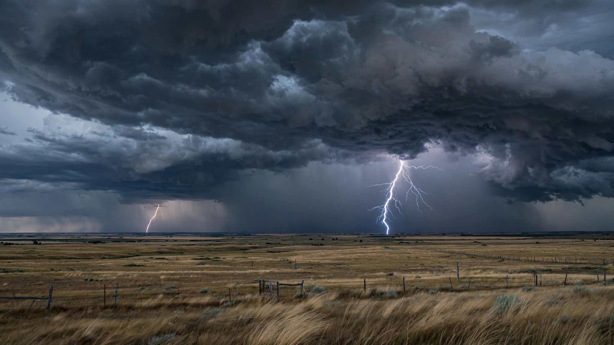
Forecasters warned on Monday, October 26, that intense thunderstorms 16 states could face are expected through the day, with strong thunder and lightning, heavy rain and wind, and large hail possible in parts of the country.
The National Weather Service warnings highlighted 16 states, according to The Spun’s report on Monday morning: Washington, Oregon, Idaho, Montana, Wyoming, South Dakota, Nebraska, Kansas, Oklahoma, Texas, Colorado, New Mexico, Florida, Minnesota, Iowa and Missouri.
The warnings span two broad regions — the Pacific Northwest and northern Rockies, and the central Plains and Midwest — plus Florida, reflecting separate weather systems affecting different parts of the country on the same day.
Residents in affected areas were urged to stay weather-ready: keep listening to local news or a NOAA Weather Radio, move to a secure location if a severe thunderstorm warning is issued, and avoid large open rooms such as cafeterias, gymnasiums or auditoriums if damaging wind or large hail is approaching.
What kind of storms are expected?
Monday’s storms could feature strong thunder and lightning, heavy rain and wind, and large hail, according to the warnings summarized by The Spun. Lightning is a particular concern in autumn storms, because people may underestimate storms that do not look as dramatic as summer supercells.
The National Weather Service’s general safety guidance is consistent: go inside a sturdy building immediately if severe thunderstorms are approaching. Sheds and storage facilities are not safe, and standing under a tree can be deadly — the tree may fall, and it also increases the risk of being struck by lightning. In a vehicle, drivers should head to the closest secure shelter if there is sufficient time, and avoid driving through flooded roads.
People outdoors should also bring pets inside if time allows, and stay away from windows during a severe thunderstorm warning, when damaging wind or large hail may be approaching.
An important nuance: the severe outlook
Readers following official forecasts may notice a distinction worth explaining. The Storm Prediction Center’s Day 1 Convective Outlook, issued at 12:19 a.m. Central Time on Monday, stated: “No severe thunderstorm areas forecast” and “Severe thunderstorms are not expected Monday.”
That outlook does not mean no thunderstorms at all. It means the center did not expect organized severe thunderstorms meeting its formal thresholds on Monday. Its discussion noted isolated thunderstorms developing along a front and lee trough from southern and eastern New Mexico and far west Texas northeastward into the Texas and Oklahoma panhandles and southwest Kansas during the late afternoon and evening, with additional development probable farther northeast into the Midwest overnight.
It also noted that a few stronger cores across southern New Mexico and far west Texas could produce hail or gusty winds, but that modest deep-layer shear and warm midlevel temperatures should limit updraft intensity and organization. In Idaho and surrounding areas, cooling midlevel temperatures and large-scale ascent could steepen lapse rates during the afternoon, despite limited moisture.
In short: thunderstorms are likely in many of the 16 states, some could be strong, but the Storm Prediction Center did not designate a formal severe-weather area for Monday. Local National Weather Service offices can still issue warnings for individual storms that become dangerous, so residents should follow local alerts rather than relying on the national outlook alone.
A larger outbreak eyed for Tuesday
The more significant severe-weather threat may arrive on Tuesday. A National Weather Service notice summarized in Monday reporting said an outbreak of severe thunderstorms was predicted on Tuesday over large swaths of the Midwest and western Great Lakes, with the greatest threat expected over Iowa and certain parts of nearby states.
Severe storms were expected to redevelop on Tuesday afternoon across eastern Nebraska and northern Missouri before moving rapidly northeast to the Great Lakes region. From the Ozarks to south Texas, isolated to scattered thunderstorms were expected to form from mid-afternoon into evening on Tuesday near a front and dry line, with a possibility of large to very large hail up to 3 inches in diameter and locally severe gusts, according to that notice.
By Wednesday morning, the center of the system was expected to move toward southern Canada, with the heavy rain threat quickly decreasing across the Great Lakes. The threats were then expected to expand on Wednesday night toward the mid-Mississippi Valley, where the thunderstorms tend to become slow-moving.
That sequence — a relatively scattered Monday, a sharper Tuesday outbreak, then a slow-moving mid-Mississippi threat — is typical of autumn systems, when a strong cold front interacts with lingering warm, moist air.
The 16 states at a glance
- Pacific Northwest and Rockies: Washington, Oregon, Idaho, Montana, Wyoming, Colorado, New Mexico.
- Plains: South Dakota, Nebraska, Kansas, Oklahoma, Texas.
- Midwest: Minnesota, Iowa, Missouri.
- Southeast: Florida.
Not every part of every state will see storms, and conditions will vary by hour. The safest approach is to check the forecast for your specific county and to have more than one way to receive warnings, especially overnight when storms moving into the Midwest could catch people sleeping.
How to stay safe during thunderstorms
- At home: Go to a secure interior location if a severe thunderstorm warning is issued; bring pets inside if time allows.
- At work or school: Stay away from windows and avoid large open rooms such as cafeterias, gymnasiums or auditoriums.
- Outside: Go inside a sturdy building immediately; never shelter under a tree.
- In a vehicle: Drive to the closest secure shelter if there is time; never drive through flooded roads.
- Stay informed: Listen to local news or a NOAA Weather Radio and follow updates from your local National Weather Service office.
Thunderstorms can develop quickly, and a storm that looks ordinary can still produce dangerous lightning, damaging wind or large hail. Monday’s warnings are a reminder to take even autumn storms seriously — and to be ready for a potentially more severe round on Tuesday.
Key points
- 16 states were warned about intense thunderstorms on Monday, October 26.
- Storms could bring heavy rain, strong wind, lightning and large hail.
- The Storm Prediction Center said no formal severe areas were forecast Monday, but isolated strong storms were possible.
- A larger severe outbreak is predicted for Tuesday over the Midwest and western Great Lakes.
- Residents should follow local warnings and seek sturdy shelter during storms.
Sources: The Spun, National Weather Service, Storm Prediction Center Day 1 Convective Outlook, October 26, 2026.
1 thought on “Intense Thunderstorms Warned Across 16 US States Monday”